High-accuracy photogrammetry in archaeology: Camarat 4 campaign
This article shines a light on a recent deep-sea archaeological campaign on a 16th-century merchant vessel, conducted by the Drassm of the French Ministry of Culture and the CEPHISMER of the French Navy. Among other objectives, the mission included a full photogrammetric inspection of the wreck, enabling the production of a highly accurate 3D model.
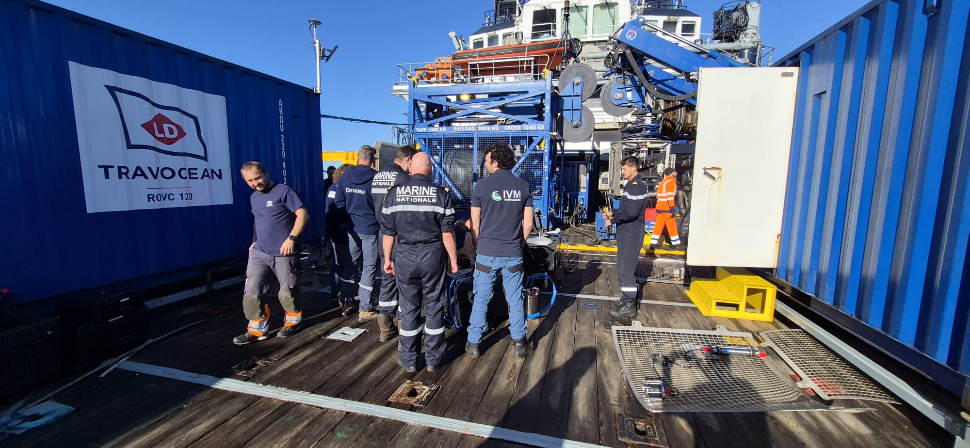
Local key players collaboration for this campaign
In the 16th century, off the Ramatuelle coast, a merchant vessel sank and came to rest at 2,500 m in the Mediterranean abyss. In 2025, the wreck, called Camarat 4, was discovered by the underwater intervention group (GISMER) from the Expert Centre for Human Diving and Underwater Intervention (CEPHISMER) during seabed control operations. Following this discovery, Camarat 4 becomes the deepest archaeological site ever listed in French waters. In April 2026, CEPHISMER organised Operation Calliope 26.1 with various objectives, all conducted thanks to the LD Travocean ROVC, rated to 4,000m, and equipped with various tools. On this occasion, a scientific mission was organised in collaboration with the Department of Underwater and Submerged Archaeological Research (Drassm), led by Marine Sadania, to carry out an archaeological survey as close as possible to the wreck.

A full photogrammetry survey of the wreck was part of the scope of work for the operation. Integrated on the ROVC from LD Travocean, our 6,000-meters-depth-rated photogrammetry system, Hydro 6000, inspected Camarat 4 in about 3 hours, collecting more than 65,000 pictures to create the very first 3D model of the wreck. In this regard, the French National Centre for Scientific Research (CNRS) represented by Paul François from the Laboratory of Medieval and Modern Archaeology in the Mediterranean, will be processing the collected data.
Photogrammetry: a new standard for underwater archaeology
Over the years, photogrammetry has become a key methodology in underwater archaeology and has completely changed how sites are documented, studied and preserved. By combining thousands of overlapping images, this technology allows the reconstruction of highly detailed and accurate 3D models of underwater structures and artefacts.
In sensible underwater environments, where human access can be impossible or can cause degradation to the site, photogrammetry offers a contactless and non-intrusive way to capture the site in its entirety. Where traditional methods can fall short in accuracy, relying on selective measurements and manual sketches, photogrammetry enables precise documentation that can be measured and revisited digitally, even after the operation. Hydro Series units enable archaeologists to generate true-to-scale 3D models without physical contact with the site. Stereo imagery with pre-calibrated cameras removes the need for scale bars or physical markers on the wreck, ensuring intrinsic metric accuracy.
For archaeologists, this represents a major shift as the 3D model is a broader scientific dataset. It allows precise measurements, spatial analysis, and interpretation of the wreck’s structure, cargo distribution, as well as greater insights into the 16th century.
Bringing deep-sea archaeology into the spotlight
This archaeological operation benefited from strong media coverage, showcasing photogrammetry, and, in a way, IVM Technologies, as a critical component of modern deep-sea survey and archaeological data acquisition workflows.

Vahé Ter Minassian. (2026, 28 avril). « Camarat 4 » : au cœur de la campagne scientifique qui a repêché les vestiges d’un navire à plus de 2 500 mètres de profondeur. Le Monde.
La Provence. (2026, 28 avril). Exceptionnel : un navire du XVIe siècle exploré à 2500m de profondeur au large de Ramatuelle, dans le Var. La Provence.
CHEMEL, P. (2026, 28 avril). L’épave la plus profonde de France découverte au large de Saint-Tropez, une véritable “capsule temporelle”. Actu Toulon.
SIAPO, A. (2026, 28 avril). Un “trésor” remonté des profondeurs : retrouvée à 2 500 mètres sous la mer, l’épave la plus profonde jamais répertoriée livre ses secrets. Midi Libre.
DAVID, C. (2026, 30 avril). CEPHISMER et Drassm en mission conjointe sur l’épave la plus profonde référencée dans les eaux françaises. Mer et Marine.
LIOULT, C. (2026, 28 avril). Découvertes dans une épave à 2500 mètres de profondeur au large du Var, des céramiques commencent à livrer leur secret. France Info.
GEO. (2026, 28 avril). 2500 mètres sous les mers au large de la France: les secrets d’une épave du XVIe siècle révélés. GEO.
Préfet Maritime de la Méditerranée. (2026, 29 avril). Camarat 4 : nouvelle expertise et prélèvements de mobiliers sur l’épave la plus profonde référencée dans les eaux françaises [Communiqué de presse]. Préfet Maritime de la Méditerranée.
Made in Marseille. (2026, 4 mai). À 2 500 mètres de fond au large de Ramatuelle dans le Var, les archéologues sous-marins ont réalisé une étude ultra détaillée et en 3D de l’épave Camarat 4, datant du 16e siècle. Made in Marseille.
Edition du soir. (2026, 28 avril). Voici les premières images de l’épave « Camarat 4 », la plus profonde jamais retrouvée en eaux territoriales françaises. Ouest France.
MEREAU, L. (2026, 28 avril). Un peu du « trésor » de l’épave du Camarat 4, ce navire au fond de la Méditerranée depuis cinq siècles, enfin remonté à la surface. La Voix du Nord.
PAGES, P-L. (2026, 28 avril). Il reposait à plus de 2.500m de profondeur depuis cinq siècles : le « coffre au trésor » d’une épave de bateau remonté à la surface par la Marine nationale au large de Cavalaire. Nice Matin.
Sud Ouest. (2026, 28 avril). Des recherches menées dans l’épave la plus profonde de France, à plus de 2 500 mètres sous l’eau. Sud Ouest.


Reducing costs of subsea asset inspections
Contact us today to discuss your requirements, explore our solutions, and embark on a transformative journey in underwater inspection.